
Ontario Live Wildfire Smoke Map
Get Alerts For Wildfires In Your Area
The moment a wildfire starts near you, you'll get an instant alert and simple tips to reduce your smoke exposure.
What's In The Smoke
30xSmaller than a human hair
Fine enough to reach deep into the lungs. A MERV 13 is built to capture it.
How Far It Travels


It Doesn't Stay Local
Smoke rides the wind far downwind — you can get smoky air with no fire nearby.
What To Do During A Smoke Event
Simple steps to reduce indoor exposure.
- Stay In, Close UpShut windows and doors to keep smoke out.
- Set Fan To "On"Keeps air cycling through your filter, not just when heating or cooling.
- Recirculate AirSwitch off fresh-air intake so you're not pulling smoke in.
- Run A MERV 13Built to capture the fine PM2.5 in smoke.
- Add A PurifierExtra filtration for the room you use most.
- Wear an N95 if OutsideFits snug to block fine particles — a cloth mask won't.


The Best Air Filter For Wildfire Smoke
During smoke events, the EPA recommends upgrading to a MERV 13 filter — or the highest-rated filter your system can handle — to help reduce the fine particles smoke brings indoors. MERV 13 is the level most home HVAC systems can run while still capturing PM2.5, the fine particulate that makes up the bulk of wildfire smoke.
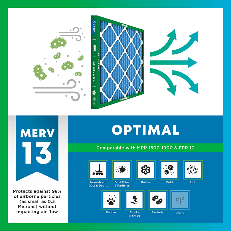
- Captures PM2.5 particles
- Blocks ash, soot, and smoke odor
- Keeps your indoor air safe—even when the outdoor air is dangerous
- Meets the EPA's recommended rating for filtering fine wildfire smoke particles.

Wildfire Smoke FAQs
Facts About Wildfires
Over 70,000 wildfires burn in the U.S. every year.
Wildfire smoke can travel 1,000+ miles, affecting states that aren't even near the blaze.
Exposure to wildfire smoke can worsen asthma, trigger heart issues, and lead to ER visits.
Indoor air can hold more fine particles during wildfire events unless it's properly filtered.
The EPA advises using MERV 13 filters or portable HEPA air cleaners during wildfire smoke events.
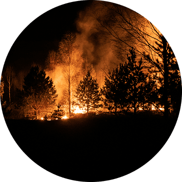
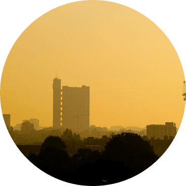
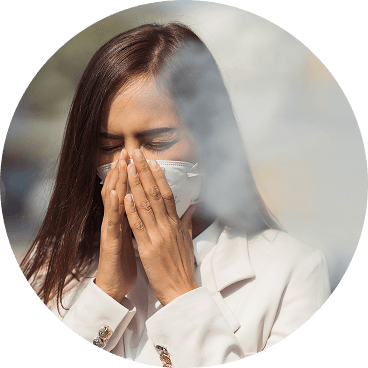
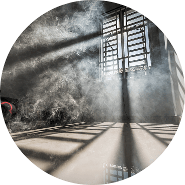
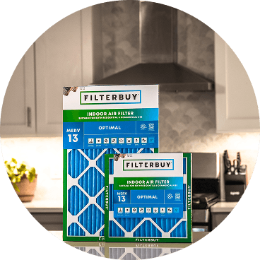
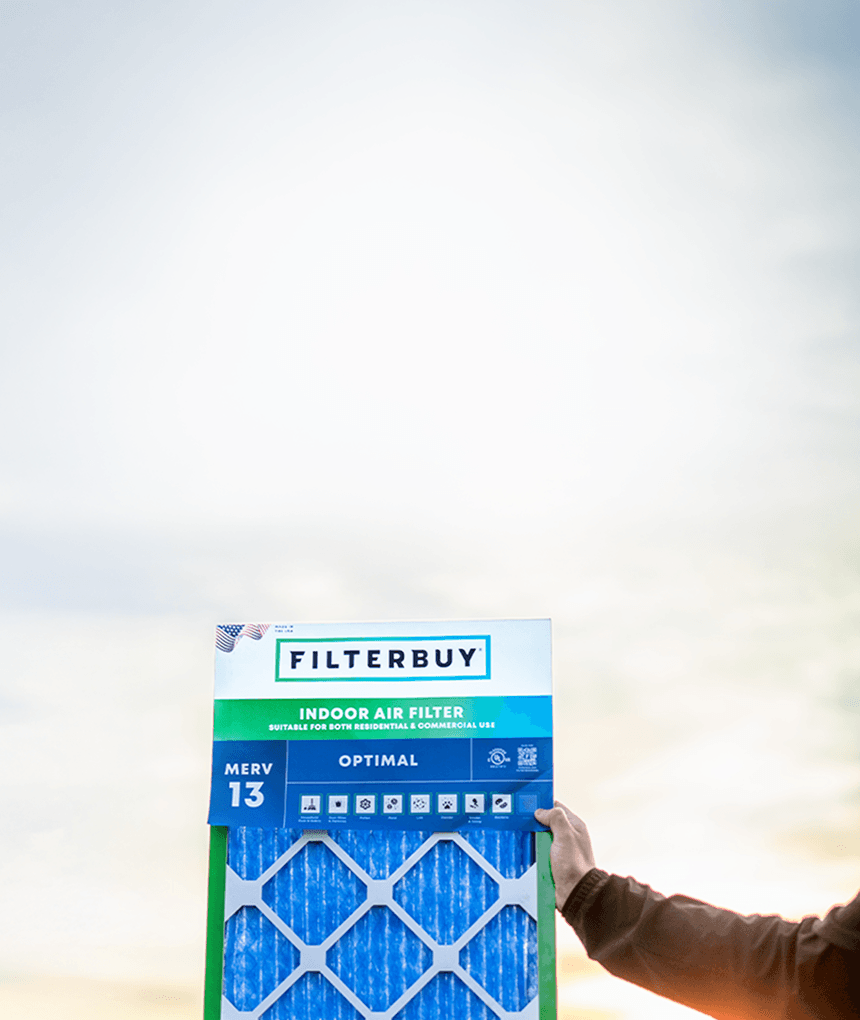
Don't Wait Until The Smoke's Inside.
Use the live wildfire smoke tracker and upgrade your air filters today to protect your lungs and your home.
Shop Filters For Smoke Protection
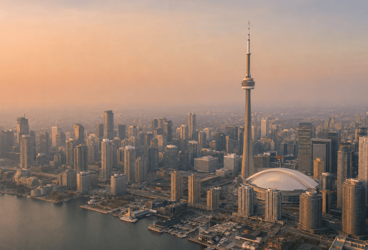
Live Ontario Forest Wildfire & Smoke Map Today: Air Quality Tracking and Indoor Protection
Three official maps will tell you where Ontario is burning, which way the smoke is drifting, and how risky the air is right now. Not one of them tells you what you're breathing inside your own home. That last part is where we come in.
This page pulls the official tools into one place: the province's live forest fire map, Ontario's smoke forecast, and the current Air Quality Health Index (AQHI) for your community. Then it answers the question those tools tend to skip, which is how to keep your indoor air clean while the smoke passes through. Ontario's legislated fire season runs from April 1 to October 31, and during that window smoke can travel across the province from fires hundreds of kilometres away. We refresh the readings below as conditions change, so you can check in, get the picture in about a minute, and carry on with your day.
Filterbuy has spent more than a decade building air filters and shipping them to homes across North America, including through real smoke seasons. We're not the people who fight the fires or forecast the weather, and we'll always point you to the official sources for that. What we know is the air inside your home, and how the right filter changes what you breathe.
TL;DR Quick Answers
Current live forest wildfire and smoke map today in Ontario
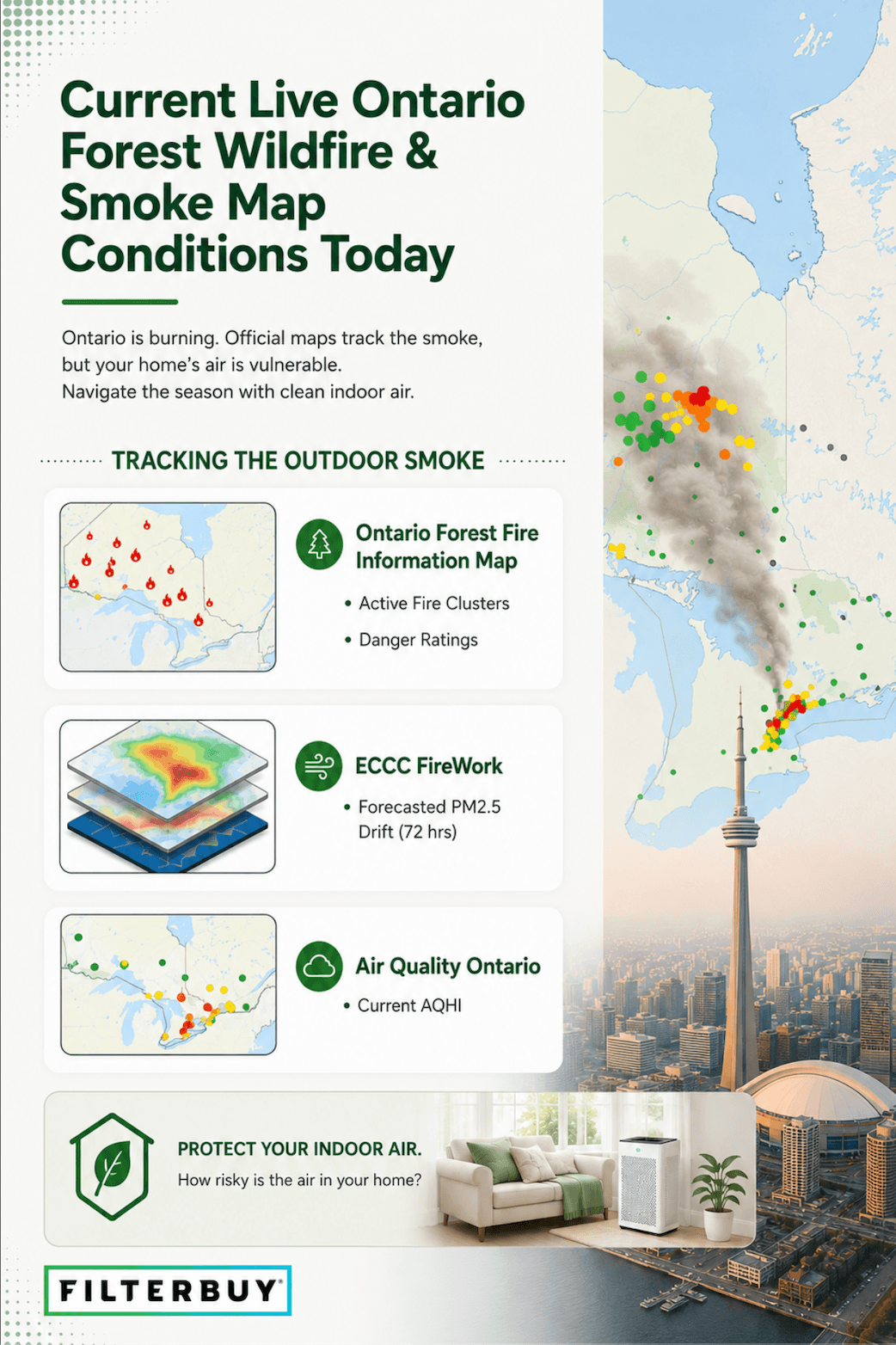
For a live look at forest wildfire and smoke conditions in Ontario today, use three official tools together: the Forest Fire Information Map (Government of Ontario) for active fires and fire danger, ECCC FireWork for the 72-hour smoke map, and Air Quality Ontario for your community's live AQHI. Those maps show the air outdoors. Your HVAC filter decides the air you actually breathe inside.
• See active fires. Ontario's live Forest Fire Information Map shows current fire locations, danger ratings, and restricted fire zones. The forest fire season runs April 1 to October 31.
• Track the smoke. ECCC FireWork is the go-to smoke map for Ontario. It forecasts how wildfire smoke (PM2.5) will move across the province over the next 72 hours.
• Check your health risk. Air Quality Ontario shows today's live AQHI on a 1 to 10+ scale, not the U.S. 0 to 500 AQI. At AQHI 7 or higher, the risk is high, and sensitive groups should head indoors.
• Protect your indoor air. Run your HVAC system with a clean MERV 13 (Optimal) filter to capture the fine smoke particles that get inside.
Top Takeaways
• Ontario uses the AQHI, a 1 to 10+ scale, not the U.S. 0 to 500 AQI. Read the number, the word, and the colour together.
• Fire and smoke maps read outdoor air only. Your filter decides the air you actually breathe indoors.
• Smoke shifts hour to hour. A clear morning doesn't promise a clear afternoon, so re-check before you open windows or head out.
• For wildfire smoke, MERV 13 (Optimal) is the recommended household filter. An Odour Eliminator (carbon) filter helps with the smell that lingers after.
• Filterbuy ships free to Canada on every order, with prices in CAD and 600+ sizes, including custom.
Reading the Ontario Maps
Find your region on the Forest Fire Information Map first, then check the fire danger rating and whether any nearby fire is "not under control," "being held," "under control," or "being observed." Open the FireWork smoke forecast next to see the direction and timing of the plume, and check your local AQHI reading and its forecast maximum. When the sources disagree, the province's official monitoring stations are the most reliable.
Ontario AQHI, Decoded
The Air Quality Health Index rates health risk from 1 to 10+, based on fine particulate matter (PM2.5), ground-level ozone, and nitrogen dioxide. When smoke pushes the index into the high range, Environment and Climate Change Canada and the Province of Ontario issue Special Air Quality Statements for affected areas. Read the number, the word, and the colour together:
AQHI Risk Levels & Recommended Actions
| AQHI | Risk Level (Colour) | What to Do |
|---|---|---|
| 1–3 | Low (Blue) | Enjoy your usual outdoor activities. |
| 4–6 | Moderate (Yellow) | Ease intense outdoor exertion if you notice symptoms. |
| 7–10 | High (Orange/Red) | Reduce or reschedule outdoor activity. Sensitive groups should stay indoors. |
| 10+ | Very High (Dark Red) | Stay indoors with filtered air. Run your HVAC system with a clean MERV 13 filter. |
Where Ontario Is Burning
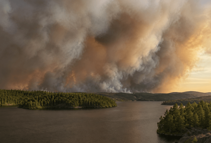
Most of the province's wildland fire activity sits in the Northwest and Northeast fire regions. In southern Ontario and the GTA, the smoke you notice usually drifts in from northern fires, or from Québec and the Prairies, on regional winds. That's why the air can turn hazy even when nothing is burning nearby.
When Is the Air Safe Again?
Smoke moves with the wind, so the morning reading won't hold all day. Re-check the AQHI forecast before you go out or open windows. And even after the outdoor number improves, fine particles can linger inside, which is where your filter keeps working.
What the Map Can’t Tell You: Your Indoor Air
Every map on this page reads outdoor conditions. Smoke still finds its way inside through gaps and ventilation, so your HVAC filter largely decides the air you breathe at home. A few practical moves help. Fit a MERV 13 (Optimal) filter before the season starts. Run the furnace fan on "on" rather than "auto" so air keeps cycling. Set up one clean room. Check the filter about every 30 days during smoke season, since it loads up faster. And reach for an Odour Eliminator (carbon) filter when the smoke smell hangs around. Health Canada recommends a MERV 13 or higher filter to capture PM2.5, the fine particle that defines wildfire smoke.
We've shipped filters into more than a decade of North American smoke seasons, and the pattern holds every year. The homes that breathe easy are the ones that fit a clean MERV 13 before the haze arrives, not after.
Filterbuy Indoor Air Quality Team
7 Essential Resources
Official maps and trusted guidance for tracking Ontario's fire and smoke conditions. Each opens in a new tab.
• Ontario Forest Fire Information Map — The province's official live map of active fires, fire danger ratings, and restricted fire zones across Ontario.
• ECCC FireWork Smoke Forecast — Environment and Climate Change Canada's 72-hour forecast of how wildfire smoke (PM2.5) is expected to move across the province.
• Air Quality Ontario — AQHI — Live Air Quality Health Index and pollutant readings, updated hourly from the province's monitoring network.
• FireSmoke Canada (BlueSky) — A complementary 48-hour smoke forecast from the University of British Columbia, handy for cross-referencing the plume.
• Health Canada — Wildfire Smoke and Your Health — Plain-language guidance on smoke, PM2.5, and protecting your health indoors and out.
• AirNow Fire and Smoke Map — A familiar North American smoke map for cross-reference. Note that it uses the U.S. AQI scale rather than Ontario's AQHI.
• PurpleAir Real-Time Map — Neighbourhood-level PM2.5 readings from community sensors, refreshed roughly every two minutes.
7. 3 Statistics
• Canada averages more than 8,000 wildfires a year, burning over 2.1 million hectares. Lightning starts about half of those fires but accounts for roughly 85% of the area burned. (Canadian Wildland Fire Information System, Natural Resources Canada)
• Ontario's wildland fire season runs from April 1 to October 31. Over the past 10 years, the province has averaged about 712 fires and roughly 2,100 square kilometres burned each year. (Government of Ontario; 10-year average reported by the Ontario Ministry of Natural Resources, CBC News, November 2025)
• Fine particles (PM2.5) are the main health concern in wildfire smoke, making up roughly 90% of its particulate mass. That's exactly the particle a MERV 13 filter is built to capture. (Health Canada)
Final Thoughts and Opinion
Government maps will always be the authority on where Ontario is burning and how the smoke is moving, and they should be. Where we think this page earns its place is by joining those tools to the one decision most of them skip, which is what to do inside. After years of watching smoke seasons play out, here's our honest read: the calmest households aren't the ones who scramble fastest when the AQHI spikes. They're the ones who quietly got ready early. A clean filter is a small, unglamorous bit of preparation that pays off on exactly the days you'd rather not think about it.
Next Steps
• Check your local AQHI now on Air Quality Ontario, and note the forecast maximum for the day.
• Open the FireWork forecast to see whether smoke is heading your way over the next 72 hours.
• Find your filter size and fit a fresh MERV 13 (Optimal) filter.
• During smoke season, set the furnace fan to "on" and check the filter about every 30 days.
• Consider Subscribe & Save so a fresh filter arrives on schedule. Edit, skip, or cancel anytime.
Frequently Asked Questions
Get your home ready for smoke season
When the air outside turns hazy, a clean filter is what keeps the air inside fresh. Fit a MERV 13 (Optimal) for wildfire smoke, or add an Odour Eliminator (carbon) filter for the smell that lingers. Available in 600+ sizes, including custom, with free shipping to Canada and prices in CAD. Backed by 85,000+ five-star reviews.
Subscribe to wildfire smoke alerts for Ontario, CA to get a heads-up before the next event reaches your area.